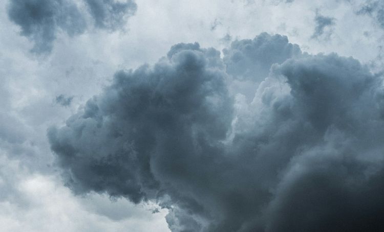
Scattered thunderstorms will develop across Panama on Thursday, November 5, with heavier afternoon rain concentrated in western provinces and Azuero. Pacific coastal conditions also warrant caution.
The Instituto de Meteorología e Hidrología de Panamá (IMHPA) issued today’s first forecast at 1:03 a.m., prepared by Julissa Rivera.
Caribbean morning showers could reach Costa Abajo in Colón, northern Veraguas, Ngäbe-Buglé and Bocas del Toro. Later thunderstorms should favour mountainous Bocas del Toro and Ngäbe-Buglé, with isolated storms around Guna Yala.
On the Pacific slope, moderate to heavy afternoon downpours are expected in Chiriquí, central and southern Veraguas, and Azuero. Rain could persist in parts of Chiriquí and Veraguas overnight.
Maximum temperatures should reach 29–32°C across much of the country, with cooler conditions in western Caribbean areas and the Central Cordillera.
Pacific waves are forecast at 0.4–1.8 metres, with long swell periods of 14–17 seconds. Coastal winds could reach 35 km/h in Chiriquí, southern Veraguas and southern Los Santos.
Separately, IMHPA’s rainfall watch remains valid until 11:59 p.m. today. The forecast notes saturated soils in several western and central areas, increasing the possibility of river rises and landslides.
Residents and holiday travellers should follow official updates, avoid swollen rivers and flooded crossings, and exercise caution along exposed Pacific shores.
Sources: Instituto de Meteorología e Hidrología de Panamá (IMHPA)