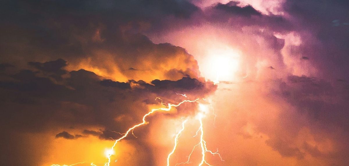
Daytime heat will help trigger showers and thunderstorms across much of Panama’s Pacific slope on Thursday, November 12. Some afternoon downpours could be intense in isolated areas. The Caribbean side has a greater chance of coastal showers early in the day. The Instituto de Meteorología e Hidrología de Panamá (IMHPA) issued its first forecast at 12:34 a.m., prepared by forecaster Pilar Lopez.
On the Caribbean slope, showers and possible lightning may move ashore in Guna Yala, western coastal Colón and northern Veraguas during the morning. More showers are possible in Guna Yala in the afternoon, while intermittent light rain is forecast from northern Veraguas to Bocas del Toro.
The Pacific slope can expect occasional morning showers, followed by a greater chance of thunderstorms in the afternoon. Locally intense rain, lightning and brief gusts are possible in parts of Darién, eastern and northern Panamá province, eastern Panamá Oeste, central and southern Veraguas, Coclé, northern Herrera and Chiriquí. Some showers could last into the evening in eastern Panamá province, southern Veraguas and Chiriquí.
Highs are forecast at 31–35°C at lower elevations and 23–27°C in the Central Cordillera. Lows range from 23.5–26°C at lower elevations and 12–18°C in the mountains. Caribbean waves are forecast at 0.7–1.2 metres and Pacific waves at 0.3–1 metre, with longer swell periods on the Pacific side. UV levels may be very high nationwide and extreme around the Gulf of Chiriquí. This is the daily forecast; the institute’s latest posted rain and thunderstorm watch expired November 7.
Sources: Instituto de Meteorología e Hidrología de Panamá (IMHPA)


